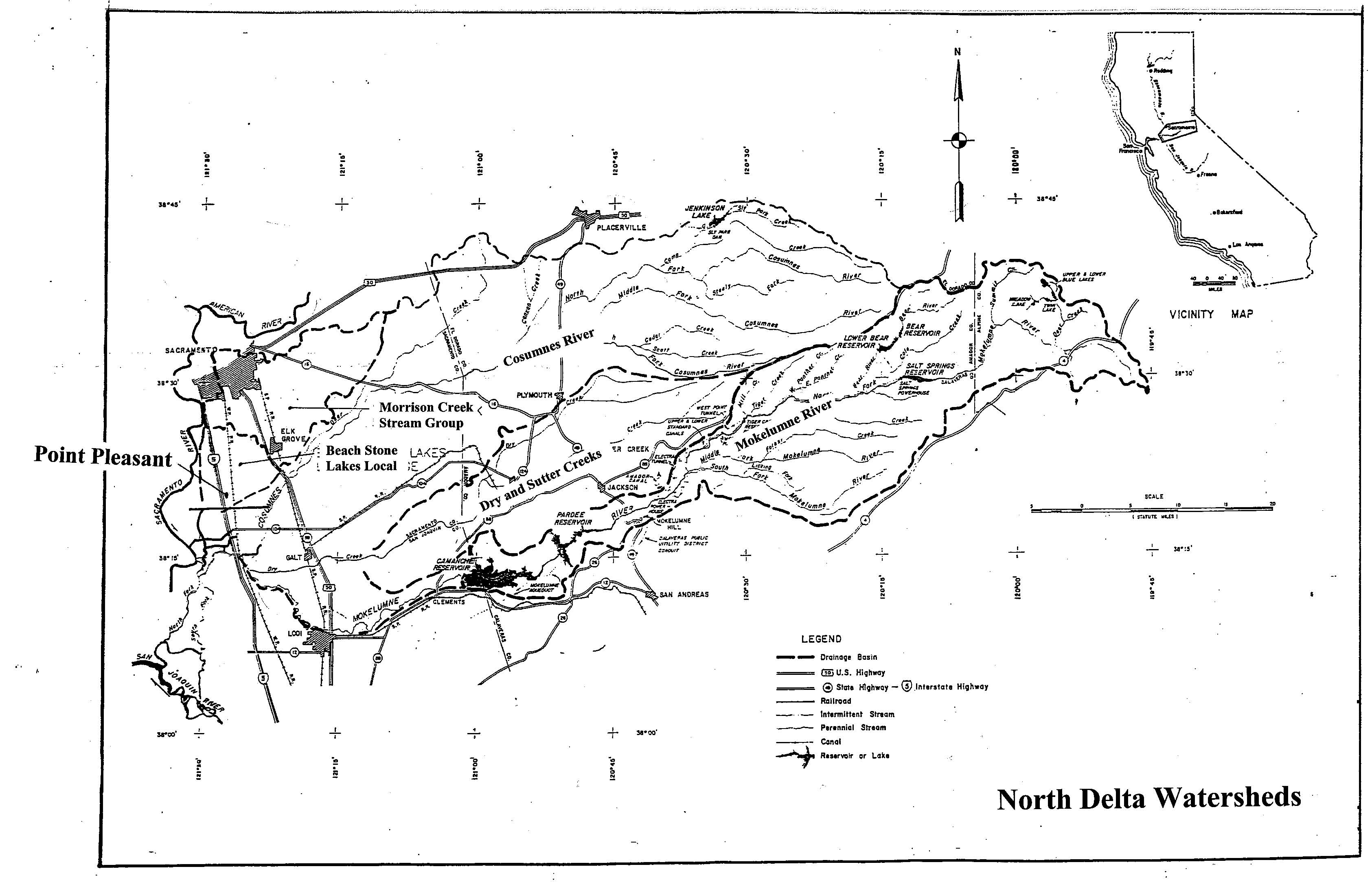
The BSL area floods from different sources:
- Morrison Creek Stream Group (180 square miles watershed) from the north
- Local runoff (50 square miles) entering between Morrison Creek and Lambert Road
- Cosumnes and Mokelumne Rivers (1,800 square miles) which back up along the east side of the WPRR and flow through the bridge openings and breaches in the UPRR embankment.
Due to restricted capacity through the Delta, Cosumnes and Mokelumne River flows backup Snodgrass Slough and flow north over Lambert Road. The Lambert Road bridge has flap gates which prevent flow from passing north. However, when the water on the south side of Lambert Road exceeds 13.3 feet elevation (NAVD88 datum) water spills north into the BSL
 (View the map)
Return to: Beach
Stone Lakes/Point Pleasant Flood Plan