Unionhouse Creek LOMR
In accordance with the National Flood Insurance Program regulation 65.7(b)(1), Sacramento County hereby gives notice to affected property owners of the intent to revise the flood hazard information along Unionhouse Creek east of Stockton Boulevard to Iona Way. The revision is to map this area with Special Flood Hazard Zones based upon a detailed hydrologic and hydraulic evaluation. The Flood Insurance Rate Map (FIRM) will be revised to show changes to the floodplain boundary, base flood (100-year) elevations, and floodway. The FIRM is used to determine flood insurance rates and help the community with floodplain management. Both the existing and proposed FIRMs are shown below.
Interested persons may call Shayan Rehman at (916) 874-3768 for additional information or to ask questions about the project or changes to the floodplain.
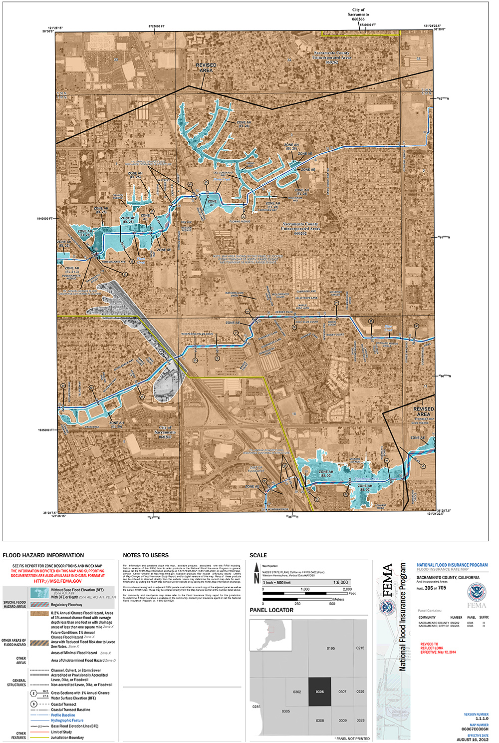 Existing FIRM.png
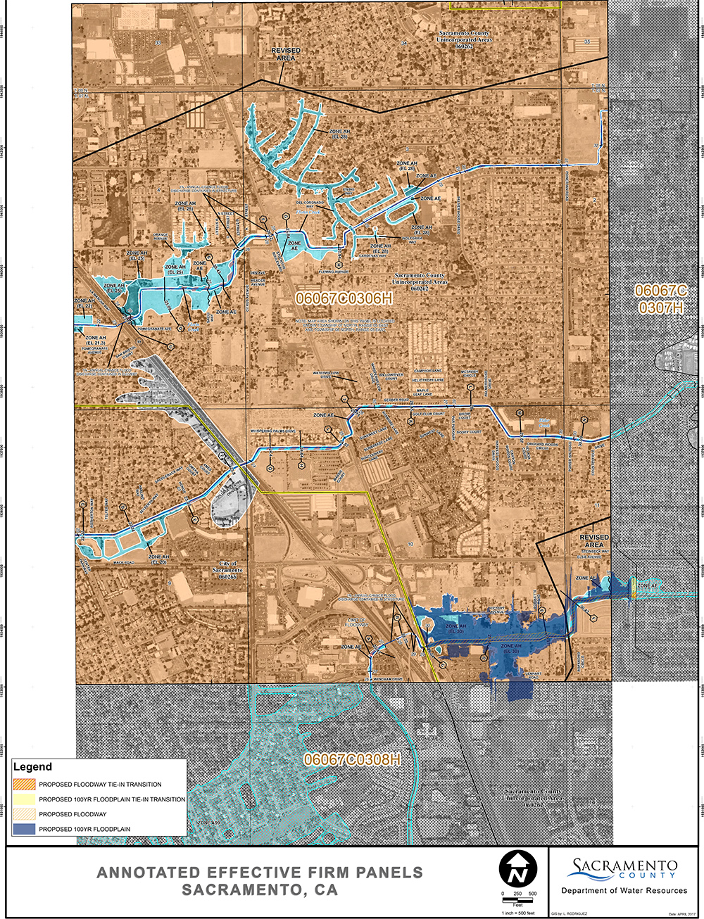 Proposed FIRM.png